
Coming from the North :
Take the A75 E11 until exit N° 39 (Le Monastier, Chanac, Nîmes, Mende, Florac, Gorges du Tarn). Turn right on Route Nationale RN9 for 2 km, then take Route Nationale 88 on your left, towards Mende, for 24,9 km. When in Balsièges, take a right towards Nîmes to reach the Route Nationale RN106. Pass the Col de Montmirat (alt. 1046m) and keep on for about 30 km. Right before Florac, turn left and take the Route Départementale D998 towards Pont-de-Monvert, cross this town and after 27,5 km you’ll find the Route Panoramique des Crêtes (D35) on your right. Take this road for about 7 km,
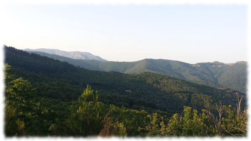
 then turn right on the D29 towards St-Frézal-de-Ventalon for 2 km; then turn left towards ChampDomergue and follow Pénens signal until you reach Pénens-Haut for the last 3 km. 130 meters after the entrance sign in the hamlet of Penens Haut, on your right you will see the sign and the parking area (4 spaces) under a lime tree (pictured above).
Coming from the South :
From Nîmes, take the road towards Alès (40km) and from there, towards Mende / Clermont-Ferrand, to reach the Route Nationale RN106. Keep on the same direction and cross Les Salles du Gardon (on km 54) and Le Collet-de-Dèze (on km 69). As you leave the village, before the “Garage Citroën”, take the first road on you right towards Champdomergue / St Andéol de Clerguemort. Keep up and follow the signs “Route des Crêtes”.
 After 10 km (that will take you about 20 mn) you will reach the territory of St-Frézal-de-Ventalon. Keep on to Penens Haut. 130 meters after the entrance sign in the hamlet of Penens Haut, on your right you will see the sign and the parking area (4 spaces) under a lime tree (pictured above).